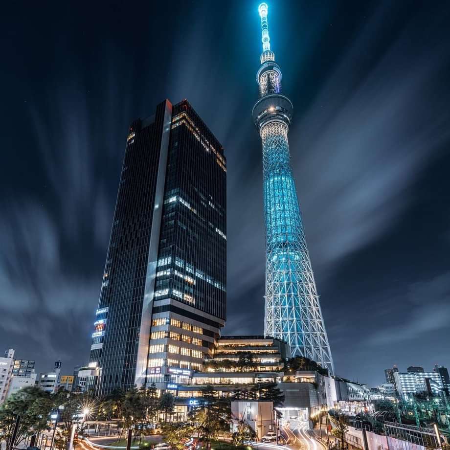
Kantō Region Guide
Coming soon
Coming soon
In the following map we’ll bring you through the 7 prefectures of Kantō region along with the main cities.
- Tōkyō
- Saitama
- Chiba
- Yokohama
- Mito
- Maebashi
- Utsunomiya
Tōkyō | Saitama | Chiba | Yokohama | Mito | Maebashi | Utsunomiya
Best things to do in Kantō
Tokyo Skytree
東京スカイツリー
Coming soon
Check it on Google Maps and visit the english website to know more.
Pic © bumpnikkejupiter0412
Senso-ji
浅草寺
Coming soon
Check it on Google Maps and visit the english website to know more.
Pic © hamashow_
Kantō transportations guide
Trains
Coming soon
To know more, here’s the Japan railway map from the Japan Rail Pass official website and our JR Pass and trains blog post.
Airports
Coming soon
Ports
Coming soon